[This page is full of old photographs. Please give it a minute to fully load.]
As I continue sorting and sharing a box of old slides that were given to me, here you'll find photos of various buildings on the University of Wyoming's campus as they were in 1965. The University of Wyoming is located in Laramie, Albany County, Wyoming. It is a public research university consisting of seven colleges. It all started in 1886, when the cornerstone of the "Old Main" was laid. It was made from local rough-cut sandstone, which would be used in nearly all the other buildings shown below.
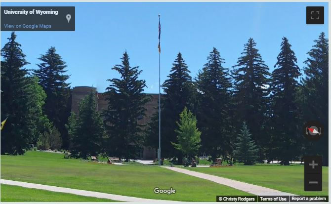
Since these slides were unlabeled, in order to confirm they were part of the campus, I used Google maps and their Street View feature to locate the buildings, so I shared that below each photo below. Many of the buildings have changed very little, except the trees are taller, the cars are classics, and there are more buildings. Copies of these photos are available here, for those who are interested.
Photo #1 - College of Agriculture and Natural Resources

Modern day view courtesy of Google Maps Street View (Click here to open in a new window):
Photo #2 - Ross Hall

Modern day view courtesy of Google Maps Street View (Click here to open in a new window)
Photo #3 - Wyoming Union

Modern day view courtesy of Google Maps Street View (Click here to open in a new window):
Photo #4 - Wyoming Union

Modern day view courtesy of Google Maps Street View (Click here to open in a new window)
Photo #5 - Student Housing under construction

Modern day view courtesy of Google Maps Street View (Click here to open in a new window):
Photo #6 - William Robertson Coe Library

Modern day view courtesy of Google Maps Street View (Click here to open in a new window):
Photo #7 - Knight Hall

Modern day view courtesy of Google Maps Street View (Click here to open in a new window)
Photo #8 - Half Acre Gym. The inscription across the top of the building says, "Man is of soul and body, formed for deeds of high resolve".

Modern day view courtesy of Google Maps Street View: (Click here to open in a new window):
Photo # 9 - Rochelle Athletics Center

Modern day via courtesy of Google Maps Street View (Click here to open in a new window):
Photo #10 - Fraternity Row

Modern day via courtesy of Google Maps Street View (Click here to open in a new window):
Photo #11 - The Education Building

Photo #12 - War Memorial Stadium

Finally, here's are two photos I was unable to identify. If you know where these buildings are, or what they are called, please comment below and fill us in!
Stay tuned for more collections from these old slides!


Comments